Destinations
Destinations 1 - 5 of 5

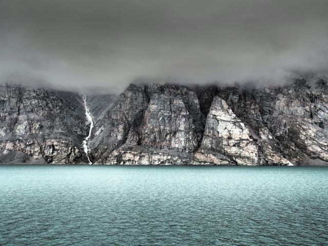
Baffin Island is Canada’s largest island and one of the Arctic’s most imposing landscapes, shaped by ice, migration, and long human presence. Inuit communities have lived here for thousands of years, developing deep connections to sea ice, wildlife, and seasonal movement.
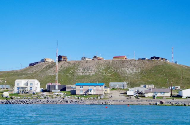
Pond Inlet is an Inuit community on the northern coast of Baffin Island in Nunavut, positioned beside Eclipse Sound and surrounded by rugged mountains, rocky islands, and Arctic tundra. The community is known in Inuktitut as Mittimatalik, a name associated with the area's traditional Inuit identity.
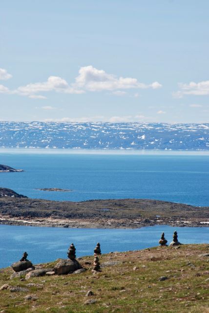
Iqaluit is the capital of Nunavut and the largest community in the territory, located at the head of Frobisher Bay on southern Baffin Island. The city is surrounded by rocky hills, tundra, freshwater ponds, and broad coastal waters, with a landscape shaped by Arctic weather and seasonal sea ice. Iqaluit serves as Nunavut's administrative, transportation, educational, and commercial centre, while remaining closely connected to traditional Inuit activities.
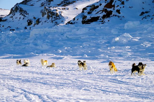
Kimmirut is a small Inuit community on the southern coast of Baffin Island in Nunavut, located beside the waters of Hudson Strait. Formerly known as Lake Harbour, the settlement sits among rocky hills, freshwater lakes, coastal inlets, and tundra. Its sheltered location gives it a close relationship with the surrounding sea, while the wider landscape contains exposed rock and low Arctic vegetation shaped by a cold, windy climate.
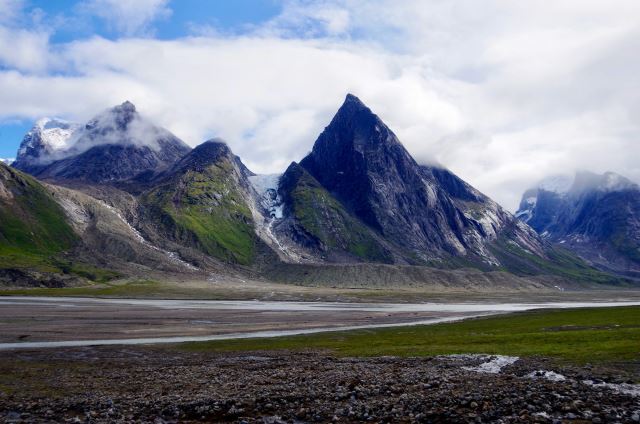
Auyuittuq National Park is a vast protected landscape on southeastern Baffin Island in Nunavut, extending between the communities of Pangnirtung and Qikiqtarjuaq. Its name means “land that never melts” in Inuktitut, reflecting the park's extensive ice and snow. Towering granite peaks, deep fjords, glaciers, rivers, and tundra dominate the landscape, while the Penny Ice Cap covers a large section of the interior.
Destinations 1 - 5 of 5